Boundary / Cadastral Surveys
Boundary / Cadastral Surveys
Boundary lines, lot lines, easements, restrictions
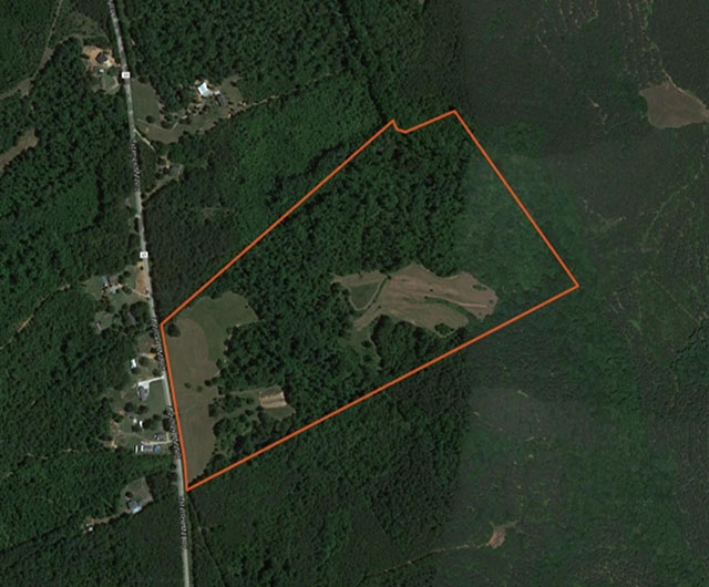
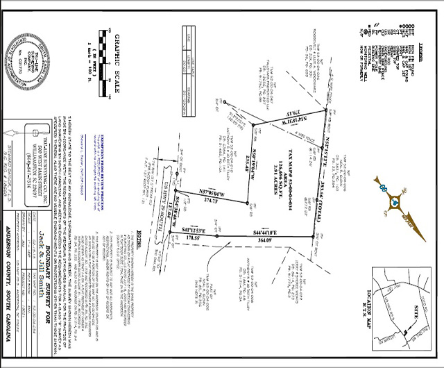
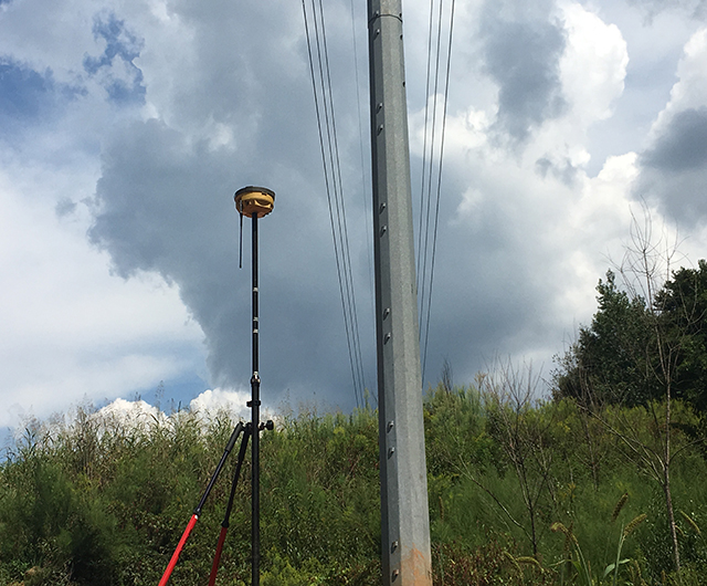
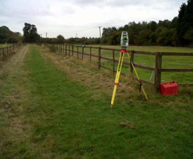
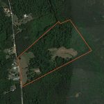
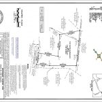
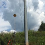
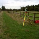
Boundary surveys are surveys made to establish or reestablish property boundary lines upon the ground or to obtain data for making a map showing boundary lines. Boundary surveys will locate existing property lines and define true property corners of a parcel of land described in a deed. It also indicates the extent of any easements or encroachments and may show the limitations imposed on the property by state or local regulations. Easements may include a utility line easement crossing the subject property to a neighboring property or appurtenant like the right to cross another property for access to a public road. An easement, such as a public utility line passing through an area of the property, must be considered so you don’t unintentionally violate it through renovations, landscaping, or any other alterations to the property. On the other hand, the use of a piece of land by an individual other than the owner, unaccompanied by an authority to do so, is generally termed as encroachment. These surveys include residential lots, commercial property, and large acreage tracts.
Boundary surveys are an important procedure for anyone buying a property of any type. They are typically performed prior to buying, subdividing, improving or building on land, and when a property owner wants to create and grant an easement for access to use by another party. Surveying the parcel before these activities ensures avoidance of future disputes, the expense and frustration of defending a lawsuit, moving a building, or resolving a boundary problem.