Subdivision Surveys
Subdivision Surveys
Also known as Subdivision Platting
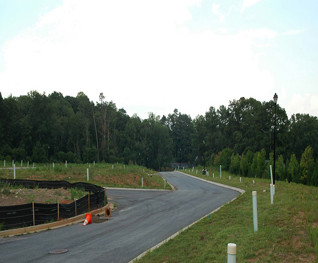
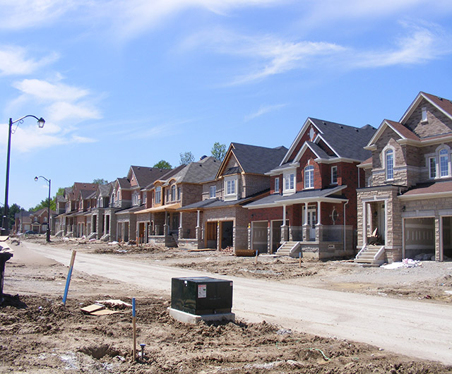
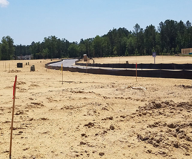
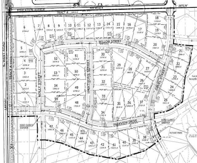
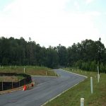
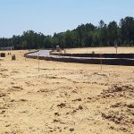
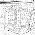
A Subdivision Survey (commonly referred to as subdivision platting) is the process of dividing a property (a tract or parcel of land ) into two or more lots, building sites, or other divisions. This usually must conform to the review process, guidelines and jurisdiction of a local agency (often the village, town or county board within whose limits the property is located). This type survey shows monumentation and survey data on a map in conformance with local subdivision ordinances. The subdivision ordinance gives standards for designating residential and commercial lots, roads (rights-of-way), parkland dedication, drainage and utility easements, and how city services will be extended to each lot.
The surveyor begins with a boundary survey, and may also be called to provide a topographic survey or ALTA survey. Often a civil engineer will be contracted to create grading plans, storm drainage, utility and street plans.
Subdivision platting is not limited to the laying out of subdivisions. A subdivision plat is also necessary when dividing land for any purpose. There may be a piece of property left to multiple children that the family wishes to divide up among them or a parent who wishes to give a portion of his or her land to their child. A subdivision plat is also required when a commercial property owner has a tract of land and a local business wants to purchase only a portion of that tract.