Topographic Surveys
Topographic Surveys
Ensure that the land’s features will be suitable for its intended use
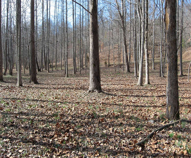
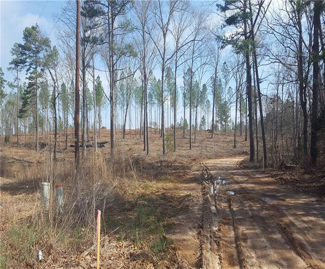
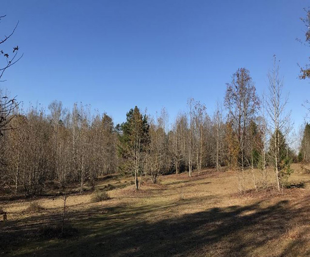
A Topographic Survey, also known as a contour survey, is a survey that gathers data about the elevation of points on a piece of land and presents them as contour lines on a plot. While the standard land survey deals primarily with marking out the boundaries of a parcel of land, the purpose of a topographic survey is to collect survey data about the natural and man-made features on the land, as well as its elevations. These may include hills, ravines, streams, utilities, fences, buildings, and other improvements over the natural state of the land. A topographic survey shows the location, size, and height of these types of improvements, as well as gradual changes or contours in elevation.
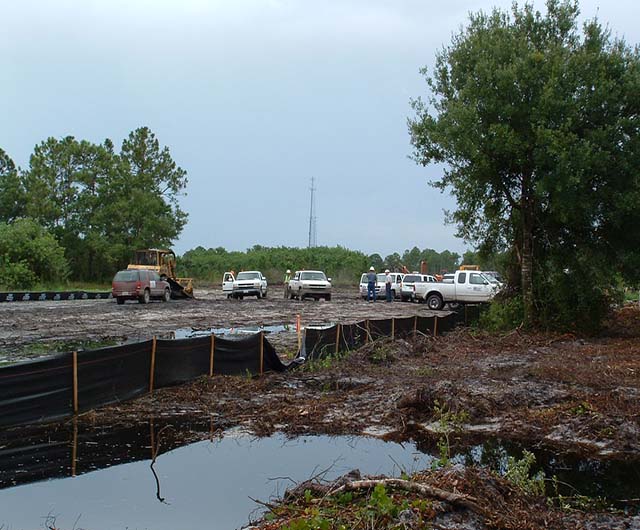
Topographic land surveys have many uses. They may be required as part of real estate transactions, civil engineering design, and construction projects. They are used to show elevations and grading features for architects, engineers, and building contractors. Nearly all construction projects begin with a topographic land survey, which describes the starting point of the land before improvements are made. Engineers and architects use them as an aid in designing buildings or other improvements to be situated on the property, as existing features may influence their design or decisions on where structures can and cannot be placed on the property. Topographic surveys may also be used when creating plans for drainage ditches, grading or other features, using the natural landscape as the basis for such improvements. Government agencies may also require topographic surveys for any of a number of reasons—for example, as regulatory requirements for construction codes, or as part of environmental restoration projects.