
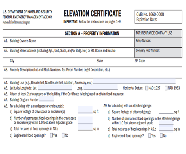
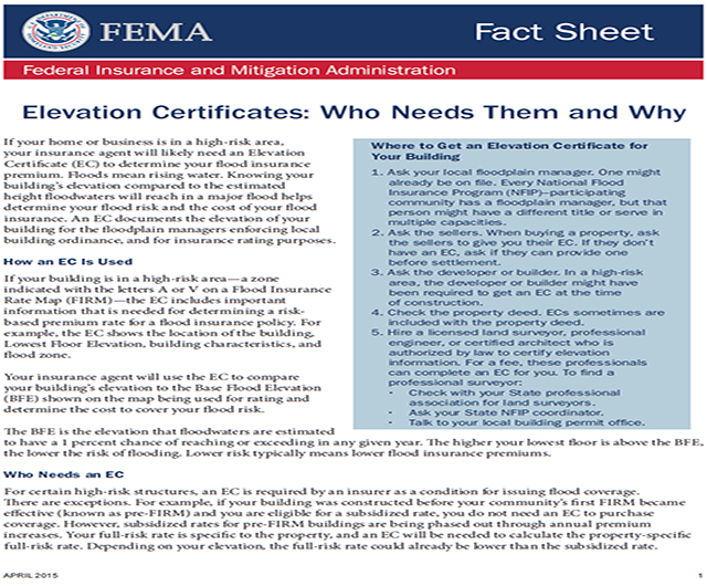
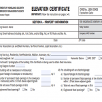
Elevation Certificates
Elevation Certificates
A Certificate that Verifies the Elevation Data of a Structure.
The Flood Elevation Certificate is an important tool of the National Flood Insurance Program (NFIP) and is used to certify building elevations if the building is located in a Special Flood Hazard Area in order to:
- Determine the proper flood insurance premium rate for the building.
- Support a request of a Letter of Map Amendment (LOMA) or
- Letter of Map Revision based on fill (LOMR-F).
The Elevation Certificate is used by local communities and builders to ensure compliance with local floodplain management ordinances and is also used by insurance agents and companies in the rating of flood insurance policies.
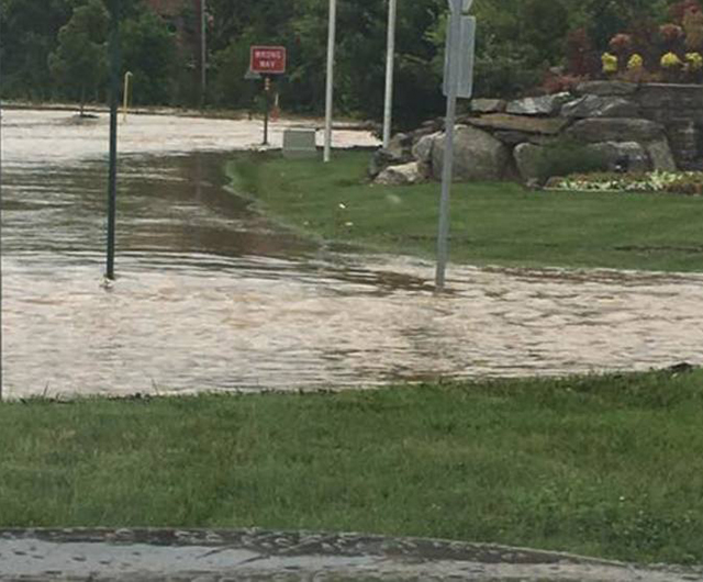
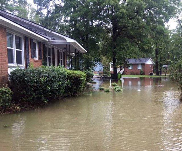
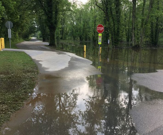
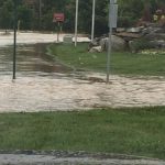
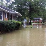
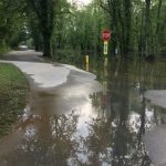
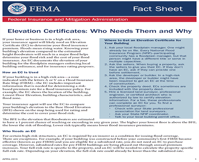
Many standard insurance policies do not cover flood damage. A National Flood Insurance Program (NFIP) policy protects valuable assets and helps pay for recovery. Homeowners should preemptively have their property analyzed and insured to avoid costly repairs or replacements in the coming year. A flood elevation survey will help determine the proper insurance premium for the property.
If you live in a high-risk area for flooding and are purchasing flood insurance through the National Flood Insurance Program (NFIP), you will almost certainly be required to provide an elevation certificate to complete your purchase.